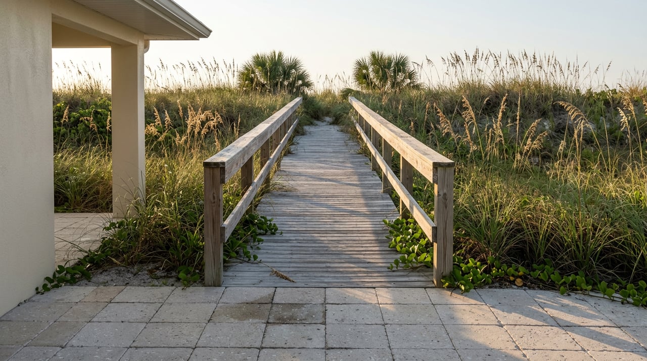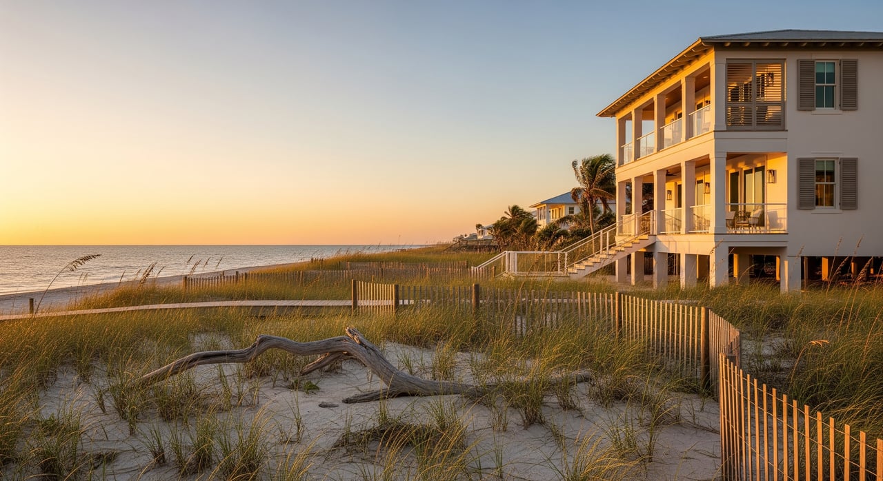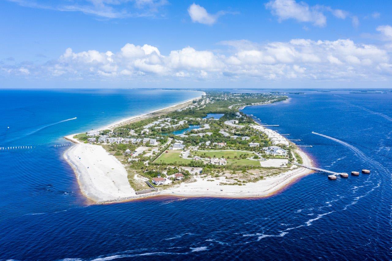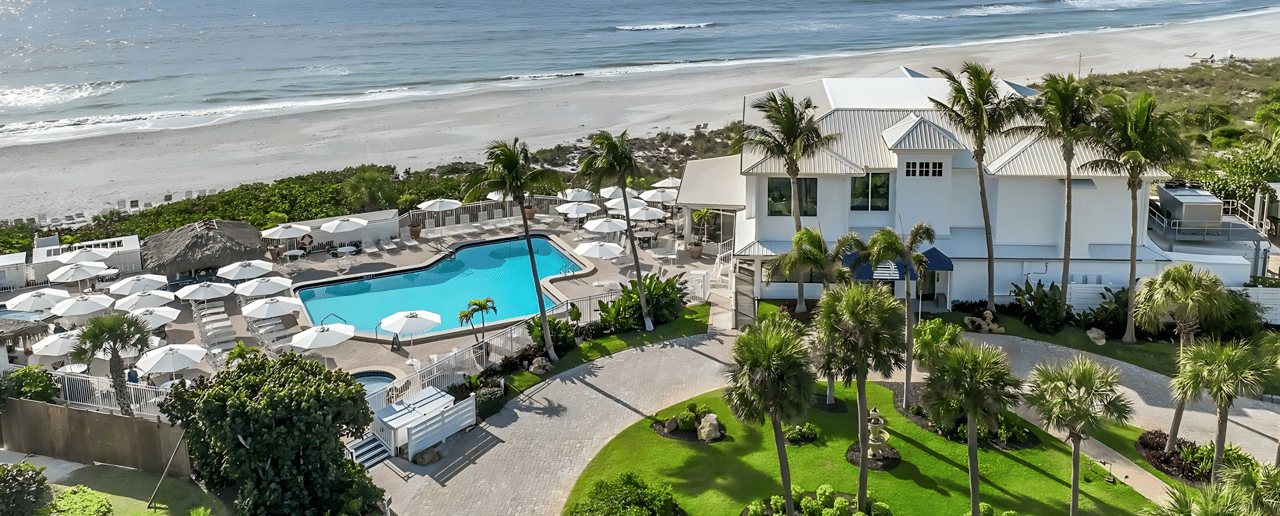
Drive to the southern tip of Gasparilla Island on any clear morning and you will find the same handful of gravel lots, the same low dune line, and the same weathered sign pointing toward the Port Boca Grande Lighthouse. For residents of Boca Grande Beach Club, the ride down is familiar: golf cart or bike along the island's rail trail, past the last stretch of private shoreline, to a beach and a museum most people here treat as an extension of their own.
That familiar drive is about to look different, and the reason has less to do with local politics than with an erosion problem the state has been patching, rather than fixing, for years.
A ten-year review, not a local dispute
On March 6, 2026, the Florida Department of Environmental Protection's Office of Park Planning released draft management plans for five parks in the Charlotte Harbor region at once: Gasparilla Island, Cayo Costa, Don Pedro Island, Stump Pass Beach, and Charlotte Harbor Preserve. Gasparilla Island State Park's chapter was one piece of that larger document, not a standalone proposal aimed at this island specifically. The state held a public workshop on April 1 at the Armory Chapel inside the park, and the written comment window closed August 1, 2026, just over three weeks before this was written.
None of this signals instability for the park itself. The state's current lease on the property, signed with the Trustees of the Internal Improvement Trust Fund back in 1983, runs fifty years and doesn't expire until March 11, 2034. Management plan reviews like this one happen well ahead of any lease question, on a routine planning cycle. What makes this particular review worth a resident's attention isn't the process. It's what the state is proposing to build.
What the draft actually changes
Strip away the planning language and the proposals fall into a short list, most of it centered on the park's southern end near the lighthouse and Belcher Road:
- A relocated entrance. The draft moves the park's south-end entrance road, a change the Boca Beacon's coverage flagged as one of the newer ideas in this cycle, since earlier plans hadn't proposed touching it.
- A permanent seawall at Belcher Road. The state has already paid for rip-rap protection at the island's tip. The draft plan goes further, describing hard infrastructure there as necessary rather than optional.
- Resurfaced, re-striped parking. The report calls for stabilizing and better delineating the south-end parking area, alongside dune restoration in the same footprint.
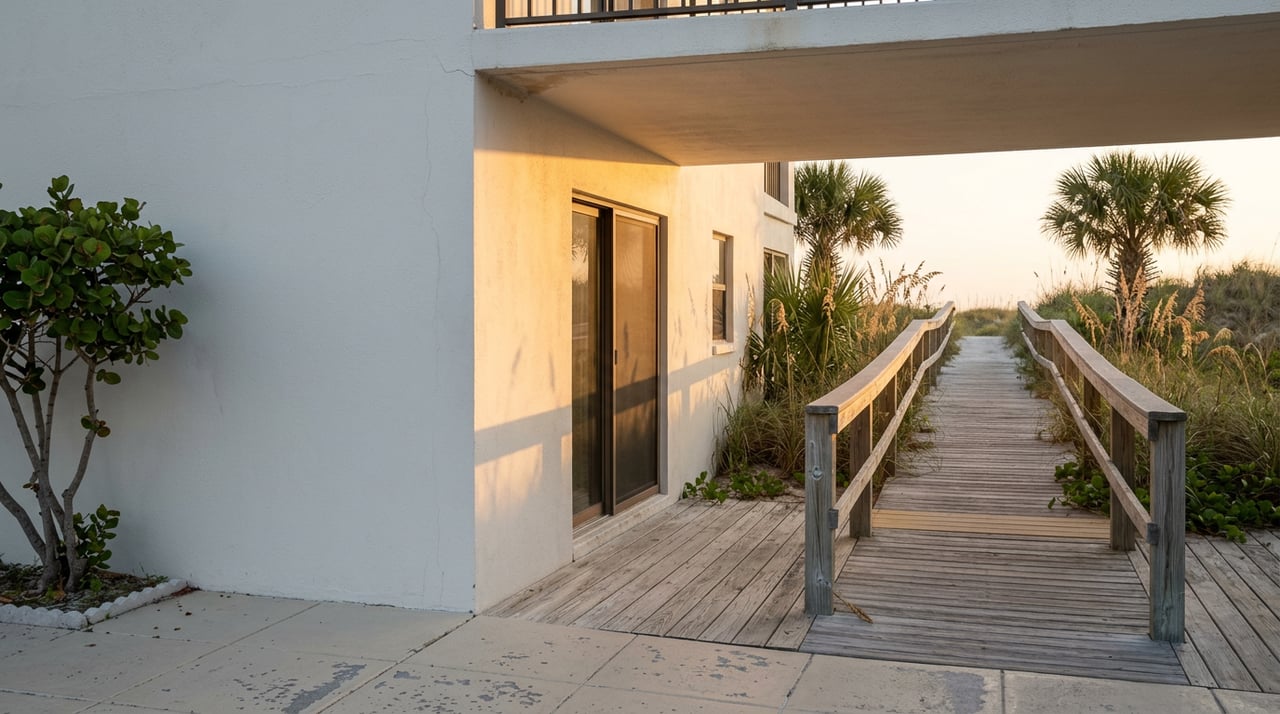
- Boardwalk removal and native replanting. Damaged beach-access boardwalks would come out, replaced with native plantings meant to stabilize the walkover paths and support the shoreline after storms.
- A Critical Wildlife Area under evaluation at the southern tip, intended to protect nesting habitat while, in the state's own language, "maintaining current recreational access."
- A lighter touch on two historic structures. The Amory Chapel would get a deliberately minimalist approach to preservation given how exposed it is to storms, while the Quarantine House is still an open question, with the state weighing several ownership and management paths.
A few smaller items round out the draft: a rebuilt bayside paddlecraft launch for kayaks and paddleboards, a new permanent restroom at the Seagrape Use Area, and an assessment of the lighthouse complex itself to guide future repairs.
None of this is finalized. It's a draft that went through public comment and now sits with the state for further review, with no announced timeline for a final decision as of this writing.
Why a seawall, and why now
The interesting part isn't any single line item. It's the shift in approach it represents.
The last time this stretch of shoreline got a fix, in June 2019, the solution was sand: a beach nourishment project that added fill from Banyan Street down through the Seagrape Park area toward the lighthouse. Last summer, the park's south end closed again, temporarily, for another round of renourishment near the lighthouse, with the Barrier Island Parks Society noting that the lighthouse museum would stay closed right along with it until the beach reopened. Sand buys time. It doesn't stop the underlying erosion, and this stretch keeps needing it back.
This year's draft treats that pattern differently. Instead of proposing another nourishment cycle, it calls for a seawall as permanent infrastructure. The state's own report puts it plainly, describing the wall as:
"essential infrastructure to prevent further erosion at this vulnerable point along the Gasparilla Island shoreline."
That's a different posture than "we'll add more sand when it washes away again." It reads like an acknowledgment that the tip of the island needs something the tide won't simply carry off in the next storm season.
What the visitor numbers actually mean for a resident
The same March 2026 report puts a number on why the state is willing to spend on this at all: an average of about 706,000 visitors a year, and $128 million in tourism impact tied to the park's existence. Divide that visitor count across the calendar and you get close to 1,900 people a day, though anyone who has tried to find a spot in the south-end lot in February versus August knows that average hides an enormous seasonal swing.
That's the practical reason the parking proposals matter more than they might sound. A park built around four to five modest lots is being asked to absorb crowds that concentrate almost entirely into a five- or six-month season. Resurfacing and re-striping won't add capacity, but better-delineated spaces and a relocated entrance road could ease the crawl that currently backs up at the south end on a busy winter Saturday, the kind of afternoon when Beach Club residents headed that way for a lighthouse visit or an afternoon of shelling already know to leave the cart at home and walk the bike path instead.
Where this stands today
As of late August 2026, the comment period has closed and the state hasn't announced a revised plan or a construction timeline. The next real milestone will be whatever the Office of Park Planning publishes as its response to public input, and from there, funding and permitting will determine how much of this draft actually gets built versus revised.
For residents who use this beach the way they use their own, the plan is worth watching rather than worrying over. Nothing here threatens access to the lighthouse, the museum, or the mile of Gulf-front sand the state park protects. What it does suggest is that Tallahassee has stopped treating this stretch of shoreline as a place that needs occasional sand and started treating it as a place that needs infrastructure. That's a meaningful distinction if you're the one driving down Belcher Road every season, and it's worth knowing before the next round of headlines arrives with fewer specifics than the draft plan itself already provides.
For more on daily life around Boca Grande Beach Club, or to talk through what a home in this community actually involves, The Moore Team is happy to walk you through it. Book a Private Consultation whenever you're ready.